The Fastest Mapping Drone Just Got LIDAR
Wingtra LIDAR sets new standards in aerial mapping. Experience unmatched efficiency with user-friendliness and reliability to win more bids and improve construction project designs.
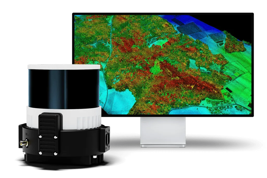
Wingtra LIDAR – Aerial Mapping
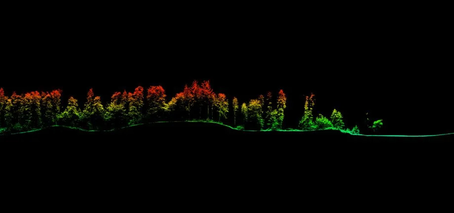
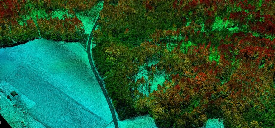
LIDAR outputs are detailed 3D representations, containing precise X, Y, and Z coordinates for each data point.
This high-resolution data captures the physical characteristics of the scanned area, including elevation and vegetation structure.
These outputs are essential for volumetric measurements, topographic mapping, and change detection over time, providing valuable insights for various applications such as environmental monitoring, urban planning, and infrastructure development.
Wingtra LIDAR – Aerial Mapping