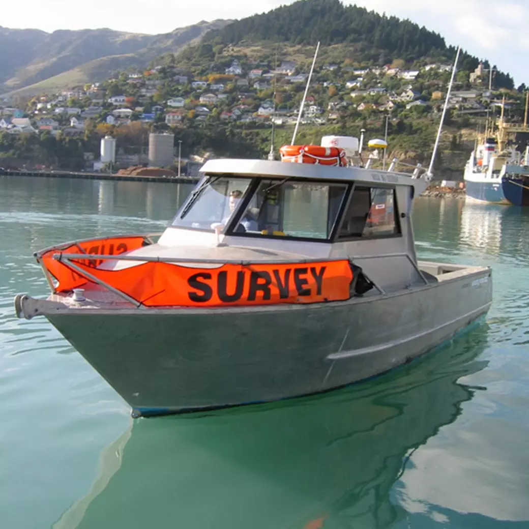
Trimble Marine Construction System for Positioning
Perform your own pre-/post-construction hydrographic surveys.
Features and Benefits
Trimble Marine Construction System for Positioning allows contractors to be productive when working on a single beam echo sounder (SBES) hydrographic survey. The software includes SBES acquisition, data editing and dredge volume calculations.

Increased Precision and Efficiency
- Data editing and dredge volumes
- Accurate dredge volume calculations
- Quickly generate run-line patterns before or during a survey for precise navigation and greater efficiency
- Complex runline patterns can be generated quickly before or during the survey

Flexibility in Challenging Environments
- Supports subscription electronic charts, open-source charts and Automatic Identification Systems (AIS) for improved safety and navigation in congested waterways
- Compatible with a wide range of Trimble and third-party sensors (single beam echo sounders, Trimble GNSS receivers, attitude sensors, etc.)
- Reliable and stable solution suitable for the challenges of marine construction large data sets
- Advanced plotting and reporting capabilities

Sonar imaging for underwater visualization
Add eyes below the water with Teledyne Marine sonars for real-time data visualization.
Applications
Trimble Marine Construction System for Positioning is ideal for navigation tasks such as:
- Clear and precise survey boat, workboat or barge positioning and orientation at the dredge/construction site
- Aid to Navigation (ATON) buoys and anchor placement
- Dredging support for pre-/post-dredge surveys to identify high and low spots
- Calculate progress volumes and send grid model updates to both the office and the dredge vessel
- Aquaculture construction and navigation (e.g. oyster, mussel farms)
Meet Our Customers
Learn how customers around the globe are using Trimble technology to be more efficient and profitable.
pp_s_add_config
pp_literature
pp_s_documentation
pp_s_contact